 High up in the Cuchumatán Mountains of Guatemala is the small Mayan indigenous town of Todos Santos. (Spanish for "All Saints") Located at about 2500m elevation (more than 8200 feet), the climate is quite chilly, and we needed lots of extra blankets at night!
We arrived in Todos Santos during the middle of Semana Santa (Holy Week), and the locals were celebrating in full force. Dozens of men were staggering around the main street in blind drunkenness, and we were a little worried that the town might be too crazy for us to stay. Fortunately, it was all in good fun, and only a bit annoying after we got settled in our hotel, as impromptu marimba concerts sprang up on the street outside at various hours of the night, complete with fireworks, singing and cheering.
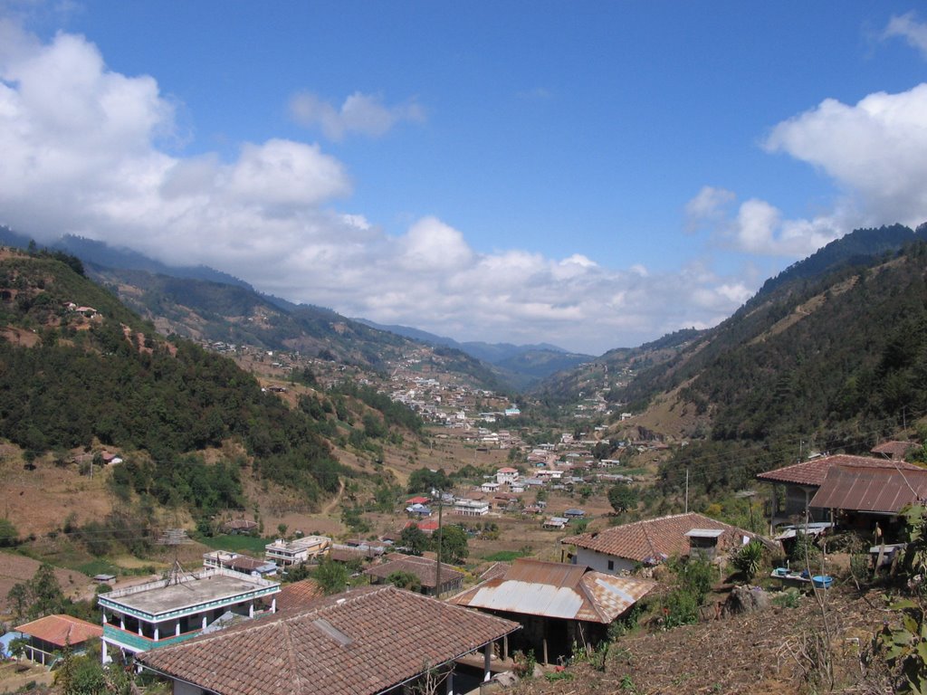
 We stayed at the Casa Familiar, a cheap friendly hostel that featured an outdoor cafe with a beautiful view of the town. (note: this photo used without permission from Guate360)
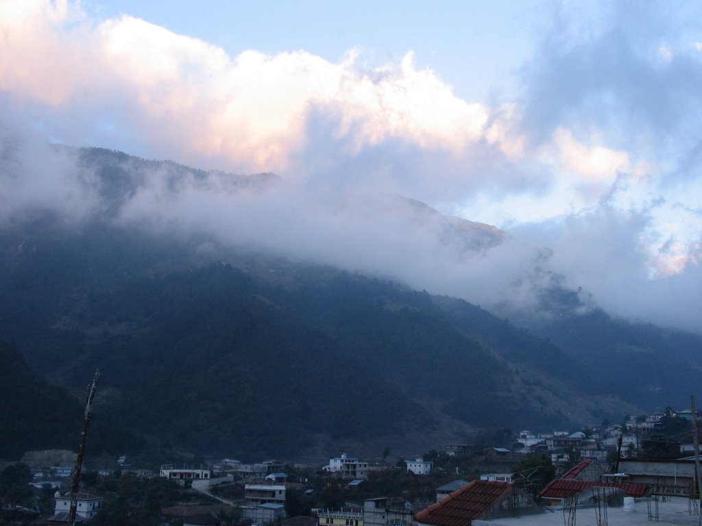 This was the view as we ate dinner outside our room during the sunset.
 One of the interesting attractions of Todos Santos is the devoutly traditional customs still followed by the locals. The local language is Mam, one of the more than 2 dozen Mayan dialects in use throughout the country; in Todos Santos, Mam seems to be much more common than Spanish.
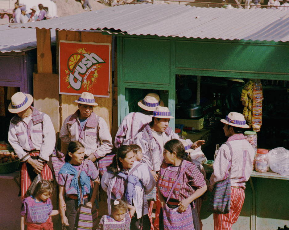 While traditional dress is still common among women all over Guatemala, Todos Santos is one of the few places in Guatemala where the men still wear the traditional style of dress. Here, the customary dress for the men includes red-striped pants and a hat with a blue band.
 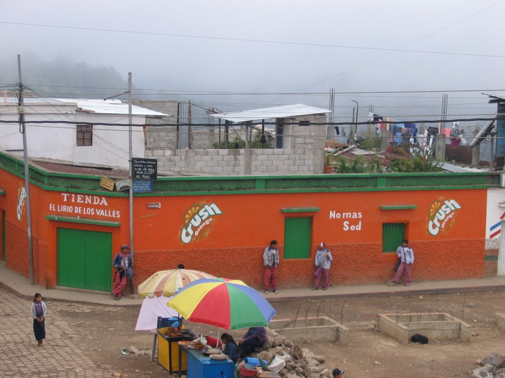 Even teenage and young boys wear the traditional dress here.
While in Todos Santos, we decided to take advantage of the surrounding mountains and do some hiking. Unfortunately, cloud cover was the norm, and we had to go about 20 miles from town to get above the clouds, in one of the highest parts of the whole country.
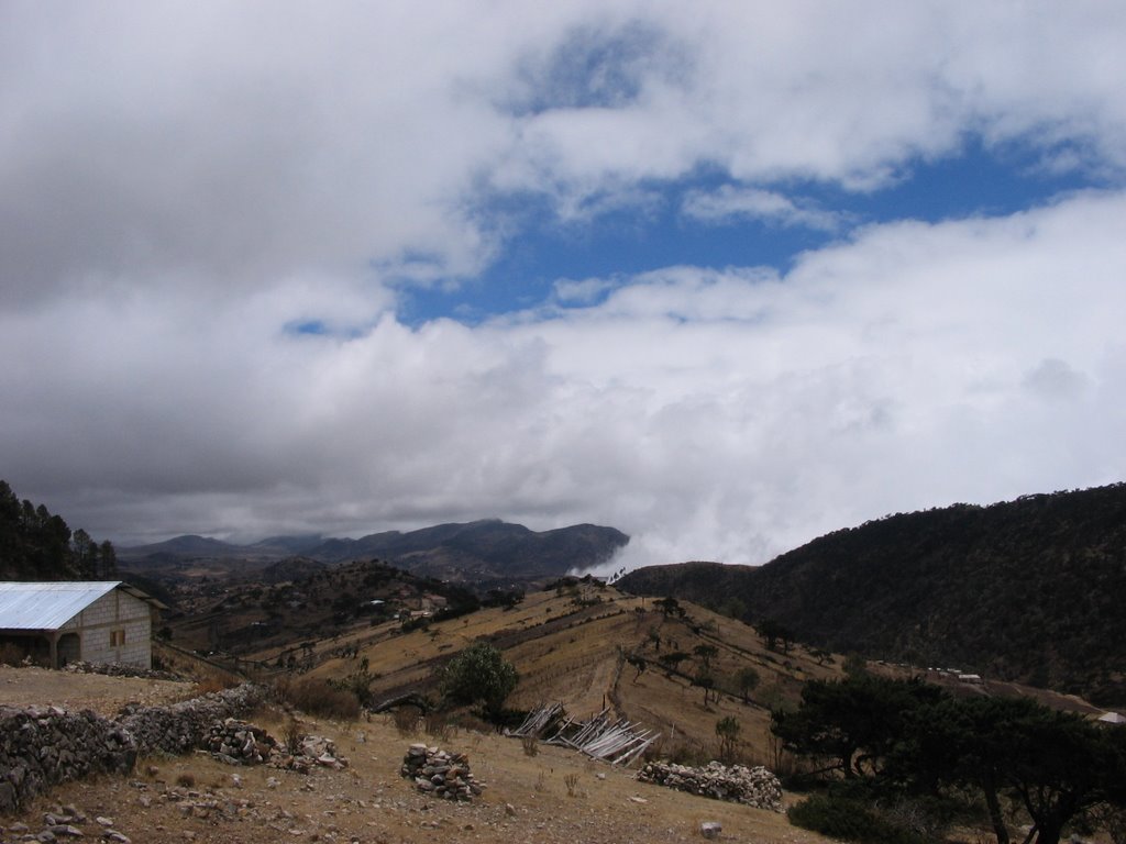 From here above some of the clouds, we started our hike up to "La Torre" (The Tower), the highest non-volcanic peak in Central America, more than 11,000 feet in elevation.
 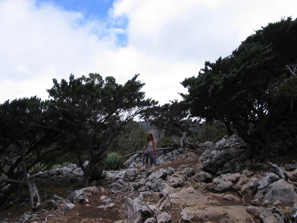 The trail took us through a variety of juniper and agave, set amongst fields of boulders.
 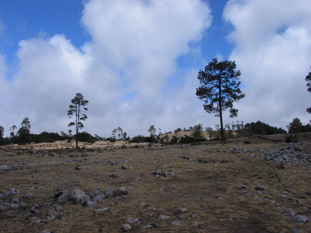 Near the top of the mountain, the terrain became distinctly alpine.
 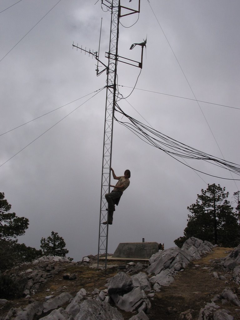 After 1-1/2 hours of hiking, we reached the summit, where we found (surprise!) a radio tower with dirt road leading to it from the other side of the mountain. It turns out we probably could have driven to the top! Oh well, the hike was beautiful.
  There was even a flimsly wooden "table" at the summit where we could sit and take in the view. (mostly clouds) During a clear day, we're told that you can see up to 5 of Guatemala's volcanic peaks in the distance.
 Back to main page